The project
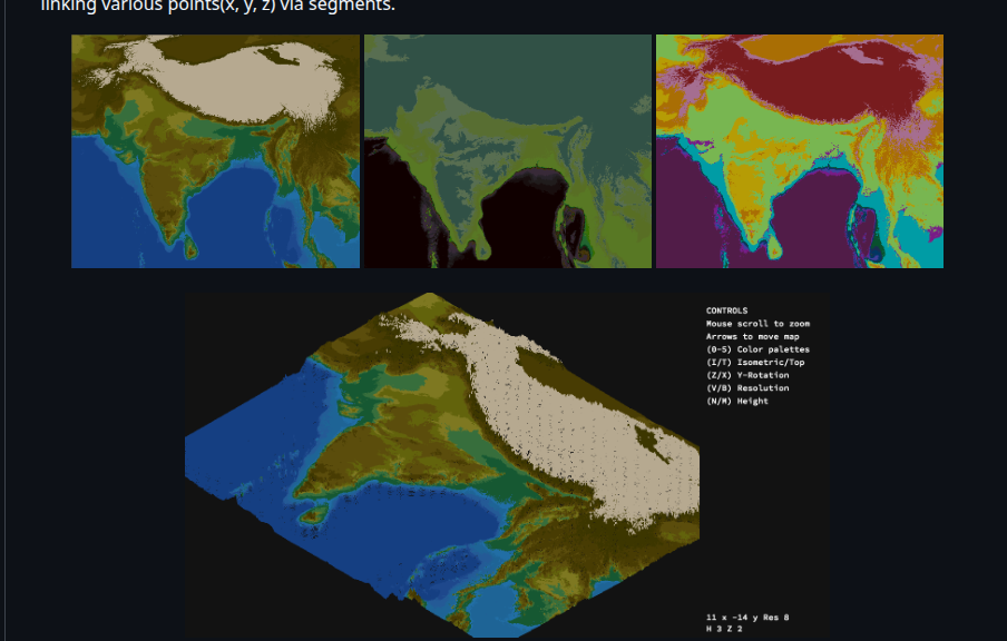
FDF transforms a height map file into a navigable mesh. Each number represents the Z coordinate of a point, and the program projects the scene onto a 2D window.
Implementation
- Input map parsing and validation.
- Bresenham’s algorithm to rasterize each segment.
- Isometric projection through trigonometric transformations.
- Zoom, translation, rotation, and height scaling.
- Color gradients based on depth and elevation.
Result
The project combines C programming, manual memory management, mathematics, and an interactive graphics loop. It provides a visual example of low-level work and of turning data into an explorable representation.